Nobody’s phone
takes this shot.
Aerial photos and video for businesses, brands, campaigns, and events — flown by an FAA-licensed operator with airspace authorizations handled before every flight. Raw, unedited files in your hands within 24 hours; polished, professionally edited deliverables follow.
$199 photos · $449 photo + video · $799 half day
If it looks better from 200 feet, we fly it.
Business & marketing
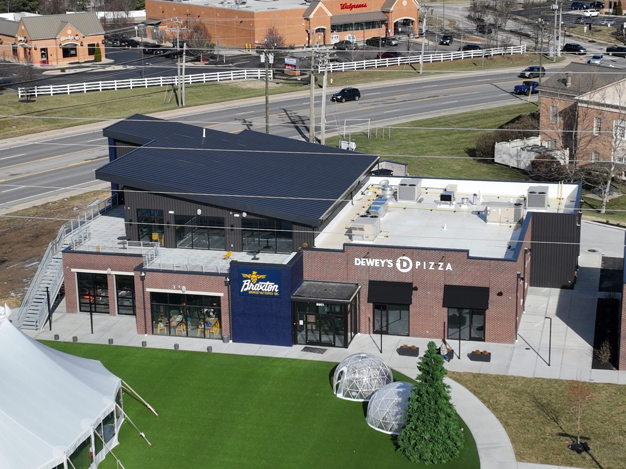
Facilities, storefronts, campuses, and product or brand shoots for websites, ads, and social — the header image and trade-show banner no ground camera gets.
Events & milestones
Festivals, races, groundbreakings, reunions — the crowd shot everyone shares afterward, captured safely and legally over people and property.
Land & acreage
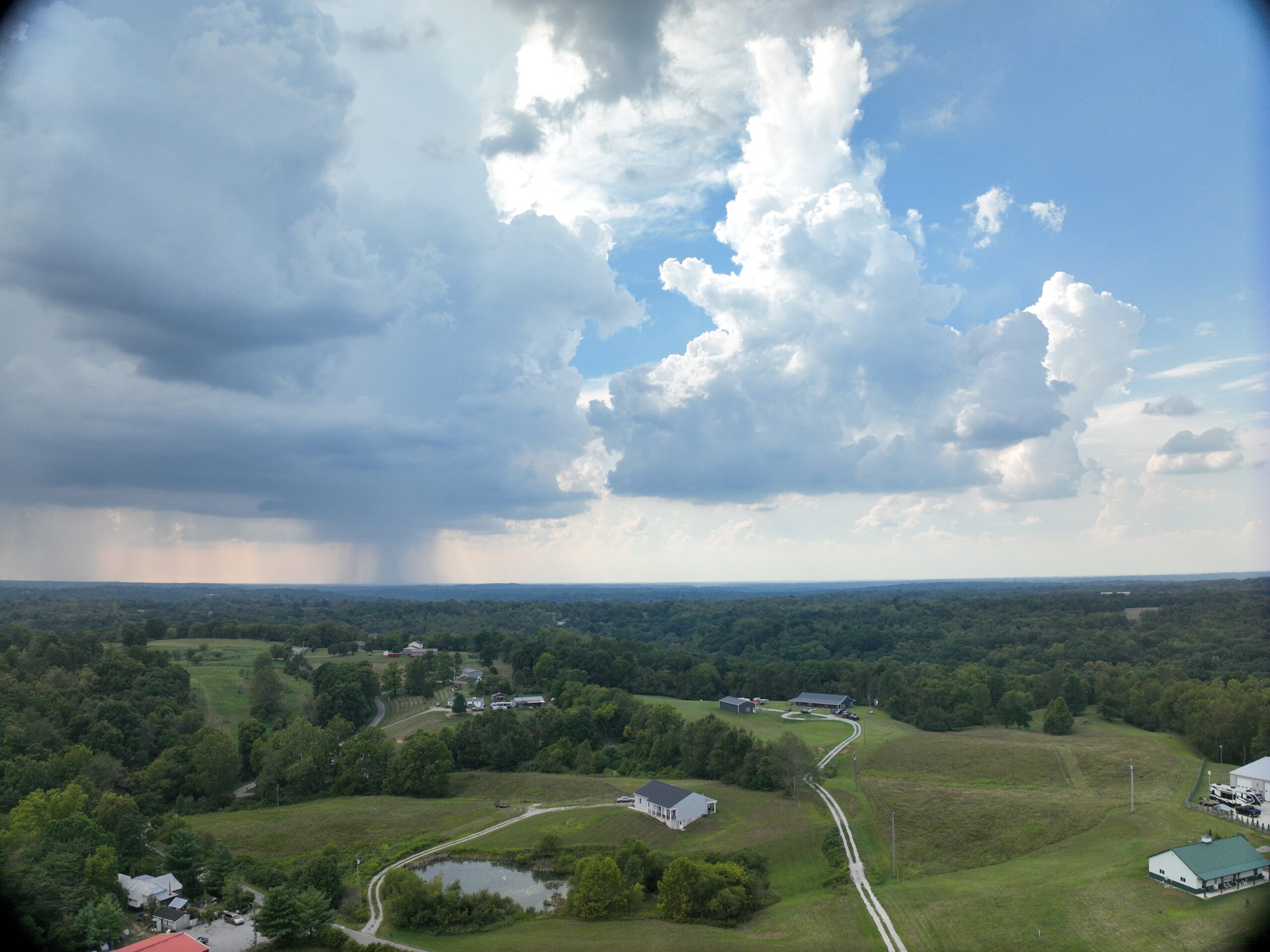
Farms, parcels, and development sites — terrain, access, and the full sweep of the property, shown the way buyers and planners actually need to see it.
Real estate listings
Elevated exteriors and full-property views that make a listing stop the scroll — available as an add-on to any package.
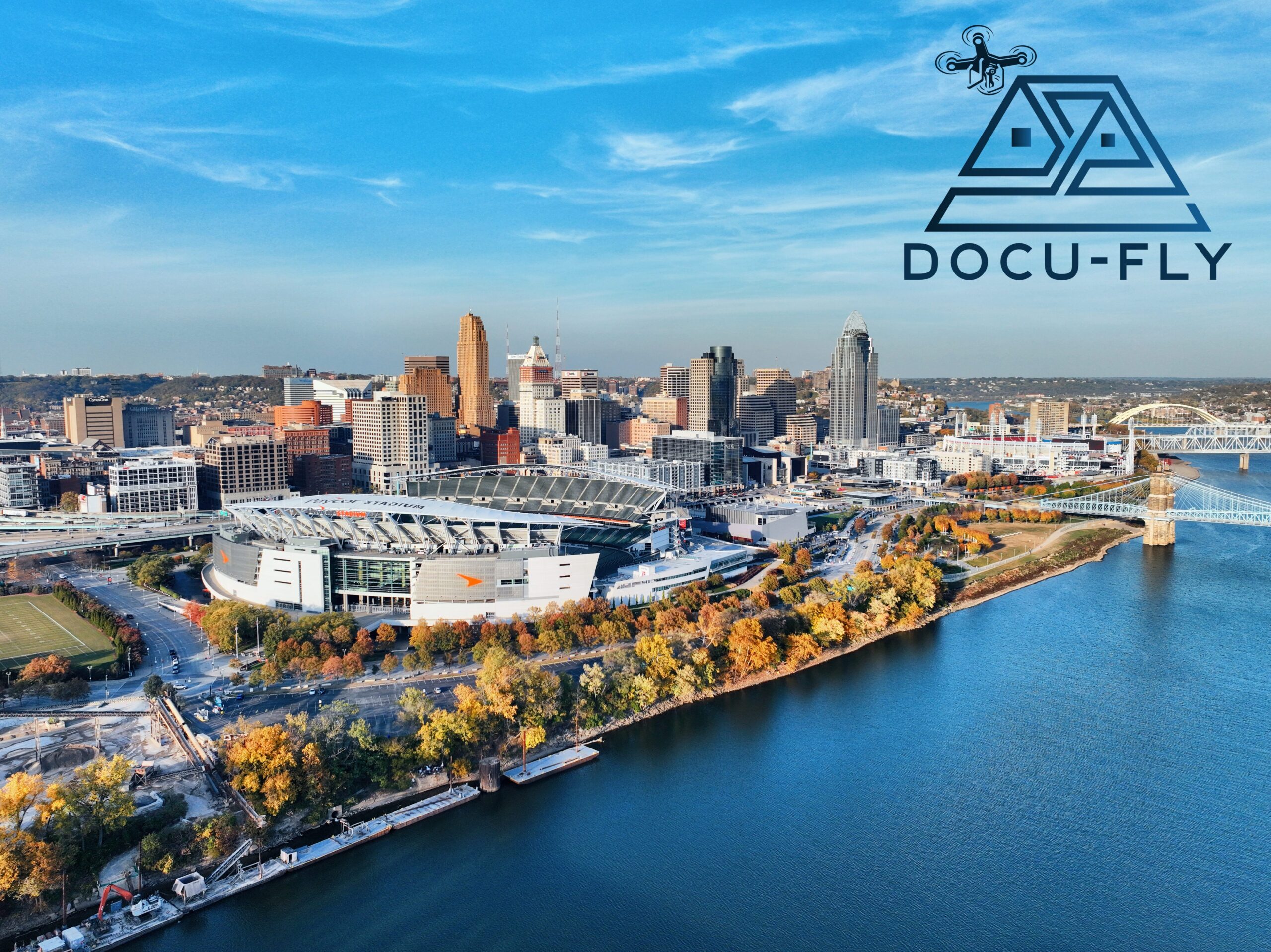
A few from the archive.
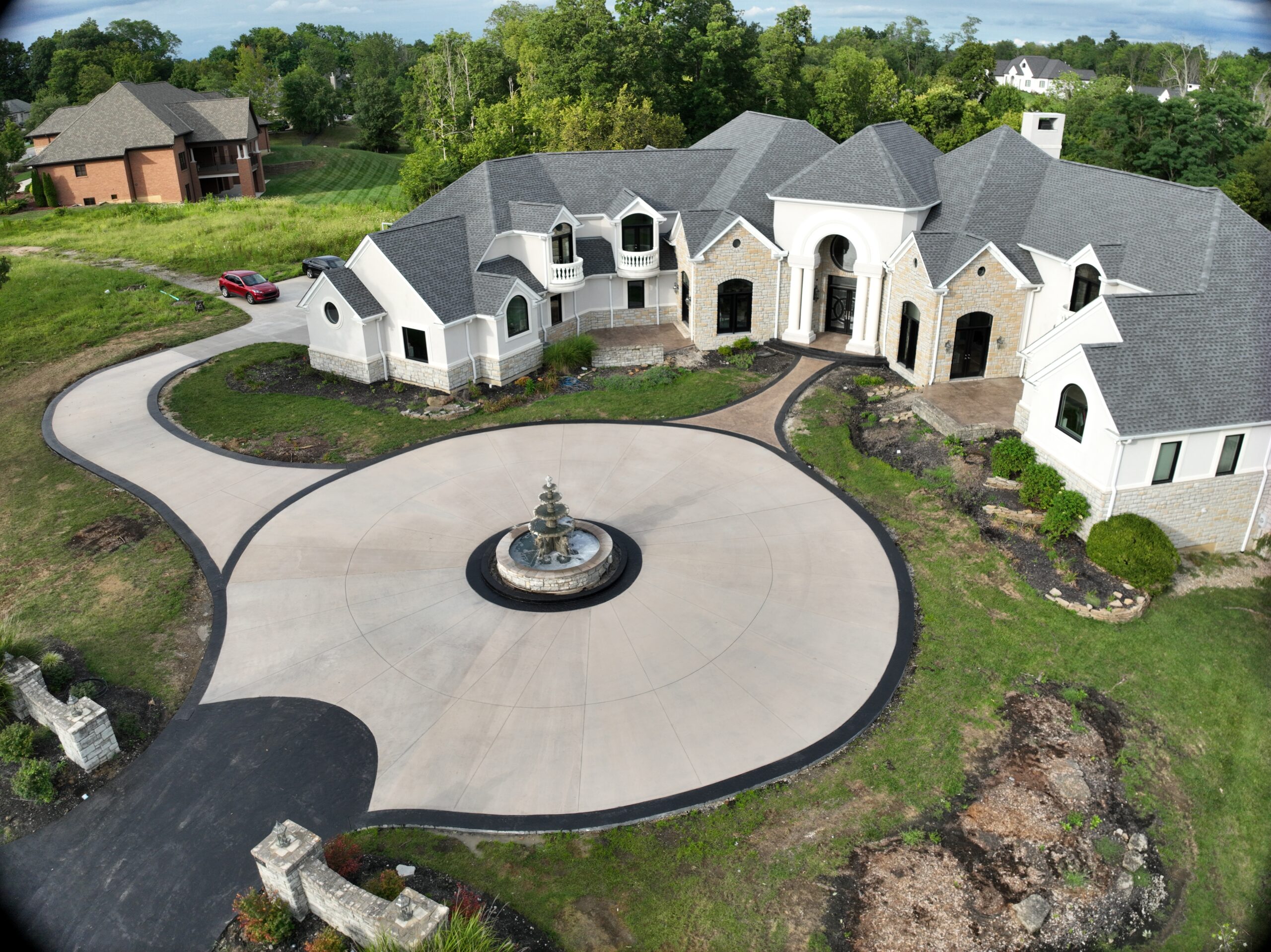
Simple packages. Full usage rights.
Every package includes full commercial usage rights. Raw, unedited photos and video land in your inbox within 24 hours of the flight — so you’re never waiting on us to start using the shots — with professionally edited versions to follow. Add a twilight shoot (+$100) to any package.
up to 15 edited stills
- One location, multiple angles and elevations
- Professionally edited, high-resolution files
- Full usage rights — post, print, advertise
- Raw stills within 24 hours; edited files to follow
stills plus one edited aerial video
- Everything in the photo package
- 60-second professionally edited aerial video
- Formatted for web, ads, and social
- Music-ready cut on request
events, campaigns, multi-location shoots
- Up to 4 hours on site
- Multiple locations or vantage sessions
- Stills plus up to 2 edited videos, organized and delivered
- Full-day and recurring-content quotes available
Additional edited videos beyond a package’s included cut are $250 each. Kentucky sales tax applies to photography and video services. Weather days rescheduled at no charge — aerial work needs safe wind and visibility, and we’d rather deliver great shots a day later than average ones on time.
Precision aerial documentation is our core business — the same discipline shows up in your photos. Airspace authorizations handled before every flight, insurance paperwork ready for any venue, and delivery when promised.
The same flight can do more than look good
Shooting a jobsite or a large parcel? Tell us what the images are for. If you need to measure off them rather than just look at them, that’s a different product and we’ll say so.
The questions clients ask first
How fast do we get the files?
Raw, unedited photos and video are in your inbox within 24 hours of the flight. That promise covers the raw files only — professionally edited stills and video follow after, and video editing in particular depends on the editor’s queue. If you’re shooting against a launch date, tell us the date and we’ll tell you honestly whether the edit will make it.
Can you fly here? What about airspace?
Usually yes, and we handle it. Much of the Tri-State sits under controlled airspace around CVG and Lunken, which means an authorization before the flight rather than a surprise on the day. We check the location when you book and tell you upfront if it needs lead time or can’t be flown at all.
Can you fly over a crowd at our event?
With the right planning, yes — flight over people is regulated, not forbidden, and we plan the flight paths and vantage points around it. Venues and municipalities often want a certificate of insurance on file; ours is ready to send. Give us the event details early, because this is the kind of shoot where the paperwork takes longer than the flying.
Who owns the photos?
You get full commercial usage rights on every package — post them, print them, run ads with them, put them on a trade-show banner. No per-use licensing and no expiry. We may ask to use a shot in our own portfolio, and we ask first.
What happens if the weather turns?
We reschedule at no charge. Wind and visibility decide whether the shots are worth having, and we’d rather move the day than hand you mediocre footage on schedule. For events with a fixed date, we build in a backup window when we book.
Can I get measurements off these photos?
Not from a photo package — that’s a different product. A photo is a picture; measuring needs a scaled, stitched map. If that’s what you’re after, look at site orthomosaic maps, which start at $499 and are built for exactly that. Neither product is a survey and neither is certified.
Tell us what to fly.
Share the location and what the shots are for — we’ll confirm airspace, watch the weather, and get you on the calendar. Most shoots can happen within the week.
Working against a deadline? Raw files are ready within 24 hours of the flight — built for campaign launches, ad deadlines, and time-sensitive listings alike. Tell us your date and we’ll build the schedule around it.
Tell us about your property
Share what you need documented and we’ll reply with a quote and the next available flight window. Most requests are scheduled within the week.
Got it — thanks.
We’ll be in touch shortly with a quote and the next available flight window. If it’s urgent, call or text 844-362-8359 and you’ll reach us directly.
Docu-Fly provides aerial documentation and mapping services only. We are not a licensed surveying firm and do not provide land surveying services. Our imagery, maps and any measurements derived from them are for planning, estimating, coordination and documentation purposes, are not certified, sealed or stamped, and may not be used to establish property boundaries, corners, easements or legal descriptions. Work requiring certified survey data must be performed by a licensed professional surveyor.